
Methodology
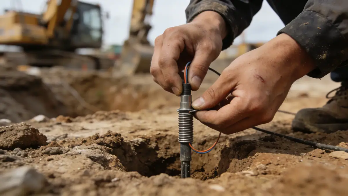
Our methodology for standard penetration test (spt) in Port Coquitlam follows ASTM D1586, with a 63.5 kg hammer dropped 760 mm. Sampling intervals are typically 1.0–1.5 m, with continuous sampling in critical zones. We use a safety hammer and calibrated automatic trip system. Boreholes are advanced using hollow-stem augers to minimize disturbance. N-values are corrected for overburden pressure and hammer efficiency to obtain N60. Data is recorded digitally and analyzed for soil classification, relative density, and liquefaction potential per NBCC 2020. Our team ensures compliance with local geotechnical standards and provides detailed logs for engineering design.
Reference Technical Parameters
| Parameter | Reference Value |
|---|---|
| Predominant soil type | Glacial till and glaciofluvial sands/gravels |
| Maximum seismic acceleration (PGA) | 0.46 g (NBCC 2020) |
| Typical groundwater level | 3–6 m below ground surface |
| Bedrock depth | Variable, 10–30 m (overburden thickness) |
| Typical N60 range | 20–60 blows/300 mm (dense to very dense) |
Local Considerations — Port Coquitlam
Port Coquitlam's glacial till deposits are dense, often requiring SPT hammer energy corrections. The Fraser River floodplain areas exhibit softer alluvial layers, contrasting with the till-covered uplands. Seismic site classification (Site Class D or E) per NBCC 2020 influences design spectra. Groundwater levels fluctuate seasonally, impacting liquefaction assessment. Typical projects include low-rise residential (2–3 stories) and light industrial, with SPT depths of 8–15 m. For regional context, our experience extends to cone penetration test (cpt) applications in similar soil profiles. Local geotechnical reports commonly reference the City of Port Coquitlam's engineering standards and the Fraser Health Authority for institutional projects.
Request a Quote
Our team reviews your project and issues an initial report at no cost.
Or write us directly at [email protected]
Services in Port Coquitlam
Applicable Standards
- ASTM D1586
- National Building Code of Canada (NBCC) 2020
- Canadian Foundation Engineering Manual (CFEM)
- City of Port Coquitlam Engineering Standards
- BC Building Code (Section 4.2)
Frequently Asked Questions
What are the typical soil conditions for SPT in Port Coquitlam?
Port Coquitlam primarily features glacial till (dense silty sand/gravel) and glaciofluvial deposits. In the Fraser River floodplain, softer alluvial silts and clays may be encountered. Groundwater is typically 3–6 m deep. SPT N60 values range from 20 to 60+ in till, indicating dense to very dense conditions.
How does seismic design in Port Coquitlam affect SPT testing?
Port Coquitlam is in Seismic Zone 4 (NBCC 2020) with PGA = 0.46 g. SPT data is crucial for liquefaction assessment using the simplified procedure (Youd et al., 2001). Corrections for fines content and overburden stress are applied. Site class (D or E) is determined from average N60 in the top 30 m.
Is a geotechnical investigation mandatory for construction in Port Coquitlam?
Yes, the City of Port Coquitlam requires a geotechnical report for most building permits, especially for structures in seismic zones or on fill slopes. The report must include SPT borings to characterize subsurface conditions and provide foundation recommendations per NBCC 2020 and local bylaws.