
Methodology
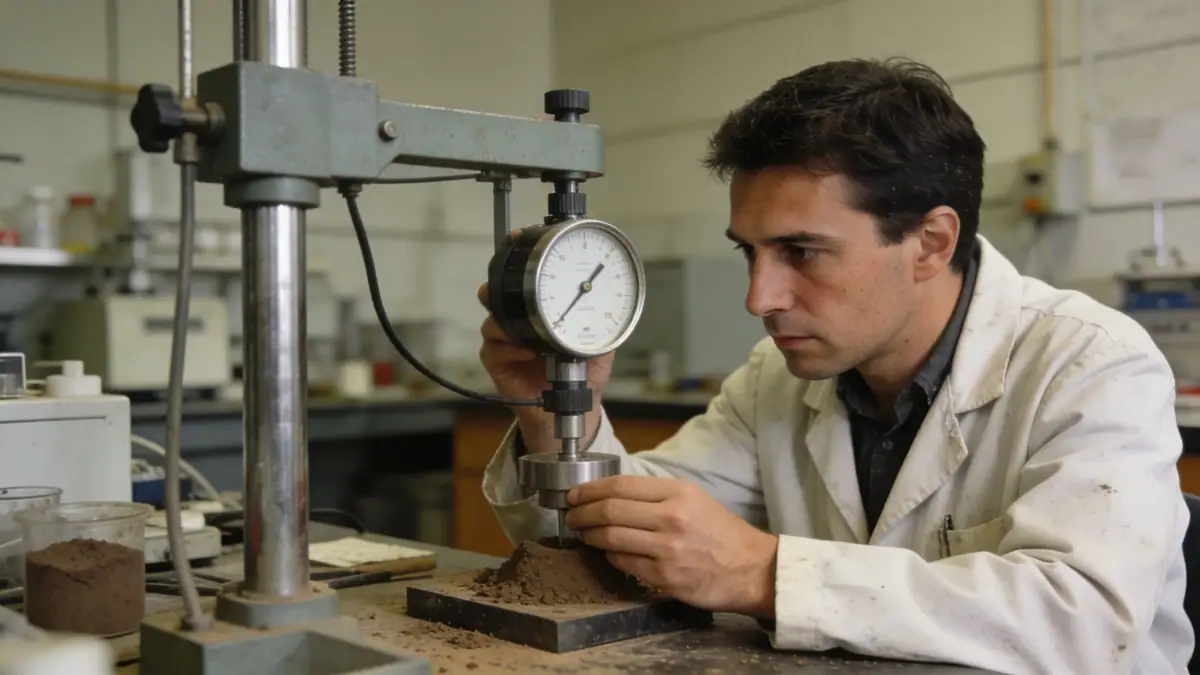
Our methodology in Langley follows ASTM D1586 for standard penetration testing, using a 63.5 kg hammer with a 760 mm drop to advance a split-spoon sampler at 1.5 m intervals. Boreholes are drilled to depths of 10–20 m for typical projects, with deeper investigations for high-rise or bridge foundations. The SPT apparatus is calibrated annually to ensure consistent energy transfer of 60% (N60). For granular soils, N60 values are correlated with relative density and friction angle; for cohesive soils, we integrate Atterberg limits and natural moisture content. Our team also deploys cone penetration test (cpt) where continuous profiling is required, complementing discrete SPT data. All field logs include groundwater observations, soil classification per USCS, and sampler recovery ratios.
Reference Technical Parameters
| Parameter | Reference Value |
|---|---|
| Predominant soil type | Glacial till (silty sand with gravel, low plasticity silt) |
| Maximum seismic acceleration (PGA) | 0.2g–0.3g (NBCC 2020, 2% in 50 years) |
| Typical groundwater level | 3–8 m below grade, variable with season |
| Bedrock depth | 15–30 m below surface (Cretaceous sandstone / siltstone) |
| Typical N60 range | 10–50 blows/300 mm (till: 30–50; sand: 10–25; silt/clay: 5–15) |
Local Considerations — Langley
Langley's subsurface presents unique challenges: glacial till with cobbles and boulders can impede drilling and cause SPT refusal. The water table fluctuates near the Fraser River floodplain, requiring careful drilling fluid management. In eastern Langley (e.g., Aldergrove), shallow bedrock reduces borehole depth but increases risk of artesian conditions. Western areas (e.g., Willoughby) feature thick glaciofluvial sands with perched water. Our team integrates SPT with dpsh dynamic probing for quick profiling in till and uses local seismic microzonation maps to adjust testing intervals. For projects near the Fraser River, we assess liquefaction using N60 values and fines content. Our principal hub in standard penetration test en Vancouver coordinates regional logistics.
Request a Quote
Our team reviews your project and issues an initial report at no cost.
Or write us directly at [email protected]
Services in Langley
Applicable Standards
- ASTM D1586 – Standard Test Method for Standard Penetration Test (SPT)
- NBCC 2020 – National Building Code of Canada (seismic provisions)
- BCBC 2024 – British Columbia Building Code
- CSA A23.3 – Design of Concrete Structures (foundation requirements)
- ASTM D2487 – Standard Practice for Classification of Soils (USCS)
Frequently Asked Questions
What soil types are commonly encountered during standard penetration testing in Langley?
Langley's soils are predominantly glacial till (silty sand with gravel, low plasticity silt), underlain by glaciofluvial sands and silty clays. In the Fraser River floodplain, soft alluvial deposits with high groundwater are common. Bedrock (Cretaceous sandstone/siltstone) occurs at 15–30 m depth. SPT N-values range from 5 to 50+ blows/300 mm depending on density and compaction.
How does the local seismic hazard affect standard penetration test requirements in Langley?
Langley is in NBCC 2020 seismic zone with PGA of 0.2g–0.3g for 2% in 50-year probability. Site classification (A–F) depends on average Vs30 or SPT N60. For liquefaction assessment, N60 values are required at 1.5 m intervals down to 20 m. Our team follows BCBC 2024 guidelines for seismic design, often requiring deeper borings for Site Class D or E.
Are geotechnical investigations mandatory for construction projects in Langley?
The BC Building Code mandates a geotechnical report for buildings on soft soil, near slopes, or in seismic zones. Langley's official community plan requires subsurface investigations for subdivisions, commercial structures, and infrastructure. Our firm provides SPT-based reports that satisfy municipal and provincial requirements for foundation design, slope stability, and liquefaction mitigation.